ファイル:Australia Tasmania location map.svg

元のファイル (SVG ファイル、780 × 957 ピクセル、ファイルサイズ: 244キロバイト)
ウィキメディア・コモンズのファイルページにある説明を、以下に表示します。
|
概要
| 解説 |
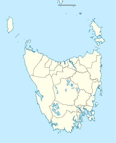
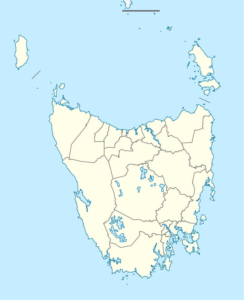
Quadratische Plattkarte, N-S-Streckung 135 %. Geographische Begrenzung der Karte:
Equirectangular projection, N/S stretching 135 %. Geographic limits of the map:
|
|
| 日付 | ||
| 原典 |
投稿者自身による著作物, using
|
|
| 作者 | NordNordWest | |
| 許可 (ファイルの再利用) |
このファイルはクリエイティブ・コモンズ 表示-継承 3.0 ドイツライセンスのもとに利用を許諾されています。
 |
|
| SVG 開発 |


ファイルの履歴
過去の版のファイルを表示するには、その版の日時をクリックしてください。
| 日付と時刻 | サムネイル | 寸法 | 利用者 | コメント | |
|---|---|---|---|---|---|
| 現在の版 | 2010年4月4日 (日) 22:08 | | 780 × 957 (244キロバイト) | Chumwa | Reverted to version as of 16:36, 29 December 2009 |
| 2010年4月4日 (日) 21:52 |  | 780 × 957 (190キロバイト) | Roke~commonswiki | local government low salience, dont appear on general use maps | |
| 2009年12月29日 (火) 16:36 |  | 780 × 957 (244キロバイト) | NordNordWest | ||
| 2009年12月29日 (火) 16:23 |  | 780 × 957 (244キロバイト) | NordNordWest | =={{int:filedesc}}== {{Information |Description= {{de|Positionskarte von Tasmanien, Australien}} Quadratische Plattkarte, N-S-Streckung 135 %. Geographische Begrenzung der Karte: * N: 39.0° S * S: 44.0° S * W: 143.5� |
ファイルの使用状況
以下の 19 ページがこのファイルを使用しています:
- アイダ・ベイ鉄道
- アドベンチャー湾
- クレイドル山=セント・クレア湖国立公園
- コールズベイ
- ジョージ・タウン空港 (タスマニア州)
- スコッツデール (タスマニア州)
- ストラーン
- ゾレル・コーズウェイ
- デボンポート (タスマニア州)
- ブラックマンズ・ベイ
- ブルニー島
- ポート・アーサー (タスマニア州)
- ラトローブ (タスマニア州)
- ルーン・リバー
- ローンセストン
- Template:Infobox Australian Place/testcases
- モジュール:Location map/data/Australia Tasmania
- モジュール:Location map/data/Australia Tasmania/doc
- モジュール:Location map/data/Tasmania
グローバルなファイル使用状況
以下に挙げる他のウィキがこの画像を使っています:
- af.wikipedia.org での使用状況
- ar.wikipedia.org での使用状況
- ast.wikipedia.org での使用状況
- azb.wikipedia.org での使用状況
- az.wikipedia.org での使用状況
- ba.wikipedia.org での使用状況
- be.wikipedia.org での使用状況
- bg.wikipedia.org での使用状況
- ceb.wikipedia.org での使用状況
- ckb.wikipedia.org での使用状況
- cs.wikipedia.org での使用状況
- de.wikipedia.org での使用状況
- Hobart
- Launceston (Tasmanien)
- George Town (Tasmanien)
- Port Arthur (Tasmanien)
- Freycinet-Nationalpark
- Mount-Field-Nationalpark
- Cradle-Mountain-Lake-St.-Clair-Nationalpark
- Ben-Lomond-Nationalpark
- Walls-of-Jerusalem-Nationalpark
- Westbury (Tasmanien)
- Devonport (Tasmanien)
- Strahan (Tasmanien)
- Latrobe (Tasmanien)
- Mount-William-Nationalpark
- Kent-Group-Nationalpark
- Vorlage:Positionskarte Australien Tasmanien
- Douglas-Apsley-Nationalpark
- Hartz-Mountains-Nationalpark
- Mole-Creek-Karst-Nationalpark
- Narawntapu-Nationalpark
- Rocky-Cape-Nationalpark
このファイルのグローバル使用状況を表示する。