ファイル:Mexico Baja California Sur location map.svg

この SVG ファイルのこの PNG プレビューのサイズ: 586 × 599 ピクセル. その他の解像度: 235 × 240 ピクセル | 469 × 480 ピクセル | 751 × 768 ピクセル | 1,001 × 1,024 ピクセル | 2,002 × 2,048 ピクセル | 923 × 944 ピクセル。
元のファイル (SVG ファイル、923 × 944 ピクセル、ファイルサイズ: 374キロバイト)
ウィキメディア・コモンズのファイルページにある説明を、以下に表示します。
|
W3C-validity not checked.
| 解説 |
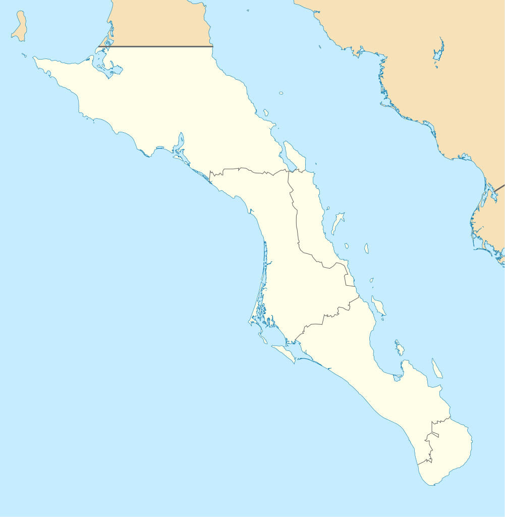
English: Own work as from the map of municipalities of INEGI and costs taken from OpenStreetMap.org (under Creative Commons Attribution-Share Alike 2.0 Generic Licence). Limits of map:
Español: Trabajo propio a partir del mapa de municipios del INEGI y costas tomadas de OpenStreetMap.org (bajo licencia Creative Commons Attribution-Share Alike 2.0 Generic). |
| 日付 | (UTC) |
| 原典 | |
| 作者 |
|
この画像には画像編集が施されています。原本に対して次のデジタル的な変更が行われました。
|
この作品の著作権者である私は、この作品を以下のライセンスで提供します。
- あなたは以下の条件に従う場合に限り、自由に
- 共有 – 本作品を複製、頒布、展示、実演できます。
- 再構成 – 二次的著作物を作成できます。
- あなたの従うべき条件は以下の通りです。
- 表示 – あなたは適切なクレジットを表示し、ライセンスへのリンクを提供し、変更があったらその旨を示さなければなりません。これらは合理的であればどのような方法で行っても構いませんが、許諾者があなたやあなたの利用行為を支持していると示唆するような方法は除きます。
- 継承 – もしあなたがこの作品をリミックスしたり、改変したり、加工した場合には、あなたはあなたの貢献部分を元の作品とこれと同一または互換性があるライセンスの下に頒布しなければなりません。

|
この文書は、フリーソフトウェア財団発行のGNUフリー文書利用許諾書 (GNU Free Documentation License) 1.2またはそれ以降のバージョンの規約に基づき、複製や再配布、改変が許可されます。不可変更部分、表紙、背表紙はありません。このライセンスの複製は、GNUフリー文書利用許諾書という章に含まれています。 |
あなたは上記のライセンスから、どれか一つ以上を選択できます。
元のアップロードログ
This image is a derivative work of the following images:
- File:Baja_California_Sur_Location_Map.svg licensed with Cc-by-sa-3.0,2.5,2.0,1.0, GFDL
- 2009-09-02T20:36:30Z Addicted04 923x944 (371328 Bytes) cost line
- 2009-08-19T23:25:40Z Addicted04 923x944 (371198 Bytes) line in the top
- 2009-08-19T22:51:13Z Addicted04 923x944 (370920 Bytes) {{Information |Description={{en|1=Own work as from the map of municipalities of INEGI and costs taken from OpenStreetMap.org (under Creative Commons Attribution-Share Alike 2.0 Generic Licence). Limits of map: * West : 115º
Uploaded with derivativeFX
ファイルの履歴
過去の版のファイルを表示するには、その版の日時をクリックしてください。
| 日付と時刻 | サムネイル | 寸法 | 利用者 | コメント | |
|---|---|---|---|---|---|
| 現在の版 | 2011年8月7日 (日) 19:32 | | 923 × 944 (374キロバイト) | Addicted04 | color |
| 2011年8月7日 (日) 19:28 |  | 923 × 944 (374キロバイト) | Battroid | {{ValidSVG}} {{Information |Description={{en|1=Own work as from the map of municipalities of INEGI and costs taken from OpenStreetMap.org (under Creative Commons Attribution-Share Alike 2.0 Generic Licence). Limits of map: * West : 115.50' W * Est : 109. | |
| 2009年10月27日 (火) 21:36 |  | 923 × 944 (374キロバイト) | Spischot | Fix: Isla de Cedros to Baja California | |
| 2009年10月27日 (火) 21:12 |  | 923 × 944 (363キロバイト) | Spischot | {{Information |Description={{en|1=Own work as from the map of municipalities of INEGI and costs taken from OpenStreetMap.org (under Creative Commons Attribution-Share Alike 2.0 Generic Licence). Limits of map: * West : 115º 5' W * Est : 109º W * Nort |
ファイルの使用状況
以下の 9 ページがこのファイルを使用しています:
グローバルなファイル使用状況
以下に挙げる他のウィキがこの画像を使っています:
- ar.wikipedia.org での使用状況
- ba.wikipedia.org での使用状況
- bg.wikipedia.org での使用状況
- ceb.wikipedia.org での使用状況
- ce.wikipedia.org での使用状況
- cs.wikipedia.org での使用状況
- de.wikipedia.org での使用状況
- La Paz (Baja California Sur)
- Loreto (Baja California Sur)
- Guerrero Negro
- Mulegé
- San Ignacio (Baja California Sur)
- Isla Espíritu Santo
- Isla Santa Catalina (Mexiko)
- Santa Rosalía
- Benutzer:Spischot/Bilder
- Aguajito
- Wikipedia:Kartenwerkstatt/Positionskarten/Nordamerika
- Cabo San Lucas
- San Bruno (Baja California Sur)
- Todos Santos (Mexiko)
- Isla Santa Margarita
- Vorlage:Positionskarte Mexiko Baja California Sur
- Tortuga (Mexiko)
- Isla Natividad
- Isla Carmen
- Isla Monserrat
- Isla Coronados
- Isla San Marcos
- Isla Santa Cruz (Mexiko)
- Isla San Diego
- Isla Danzante
- Isla San Francisco
- Bahía Magdalena
- San José del Cabo
- Nationalpark Cabo Pulmo
- Estadio Guaycura
- Ciudad Constitución (Mexiko)
- en.wikipedia.org での使用状況
このファイルのグローバル使用状況を表示する。