ファイル:River Wye estuary and M48 Wye road bridge.jpg
このプレビューのサイズ: 800 × 531 ピクセル。 その他の解像度: 320 × 213 ピクセル | 640 × 425 ピクセル | 1,024 × 680 ピクセル | 1,280 × 850 ピクセル | 2,560 × 1,700 ピクセル | 4,288 × 2,848 ピクセル。
元のファイル (4,288 × 2,848 ピクセル、ファイルサイズ: 5.92メガバイト、MIME タイプ: image/jpeg)
ウィキメディア・コモンズのファイルページにある説明を、以下に表示します。
|
| 解説 |
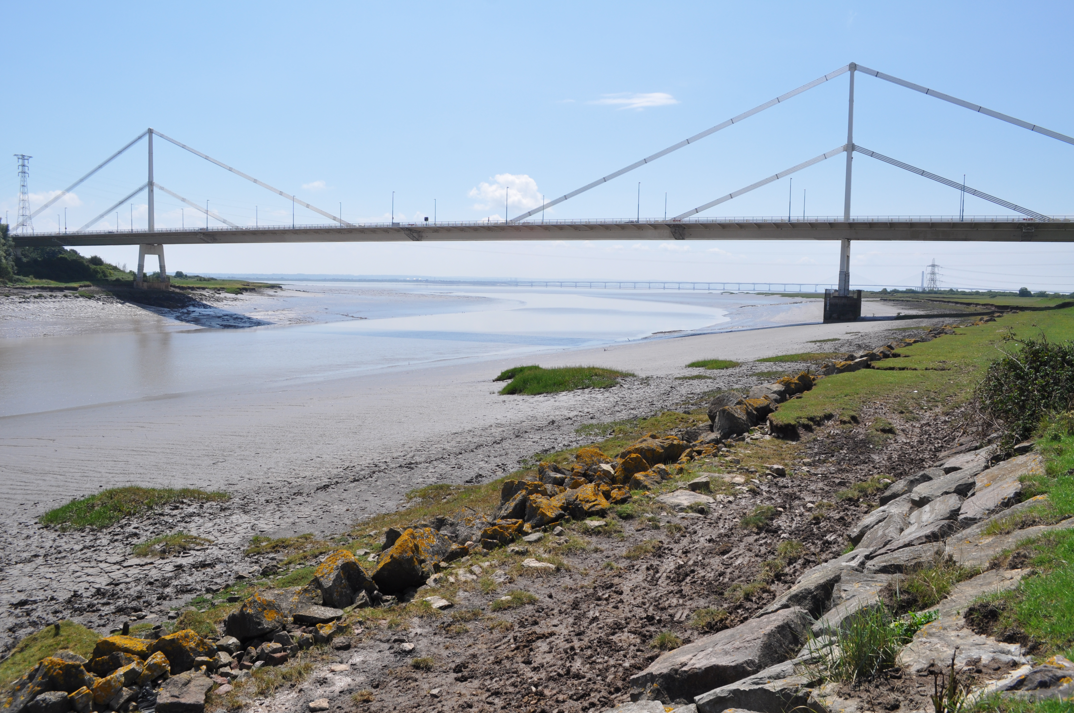
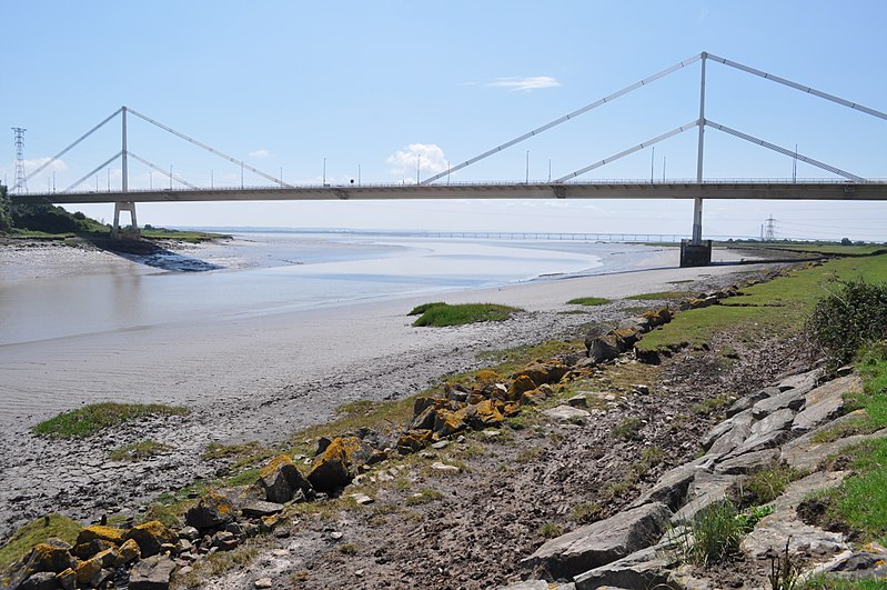
English: The Severn Bridge spans the River Severn between South Gloucestershire, England, and Monmouthshire in South Wales,
Français : Le pont de la Severn franchit la Severn entre le Gloucestershire du Sud, Angleterre et Sir Fynwy en Galles du Sud |
||
| 日付 | |||
| 原典 | From River Wye estuary and M48 Wye road bridge, near to Beachley, Gloucestershire, Great Britain - Geograph.org.uk | ||
| 作者 | Nicholas Mutton | ||
| 許可 (ファイルの再利用) |
このファイルはクリエイティブ・コモンズ 表示-継承 2.0 一般ライセンスのもとに利用を許諾されています。 帰属: Nicholas Mutton
|
||
| 帰属 (ライセンスによる要求事項) | Nicholas Mutton / River Wye estuary and M48 Wye road bridge / | ||

| カメラの位置 | | 以下のサービスでこの位置を確認する: オープンストリートマップ |
|---|
ファイルの履歴
過去の版のファイルを表示するには、その版の日時をクリックしてください。
| 日付と時刻 | サムネイル | 寸法 | 利用者 | コメント | |
|---|---|---|---|---|---|
| 現在の版 | 2017年9月10日 (日) 14:55 | | 4,288 × 2,848 (5.92メガバイト) | Geograph Update Bot | Higher-resolution version from Geograph. |
| 2010年11月13日 (土) 10:55 |  | 640 × 425 (78キロバイト) | Glabb | {{Information |Description = {{en|The '''Severn Bridge''' spans the River Severn between South Gloucestershire, England, and Monmouthshire in South Wales,}} {{fr|Le '''pont de la Severn''' franchit la Severn entr |
ファイルの使用状況
以下のページがこのファイルを使用しています:
グローバルなファイル使用状況
以下に挙げる他のウィキがこの画像を使っています:
- cs.wikipedia.org での使用状況
- da.wikipedia.org での使用状況
- en.wikipedia.org での使用状況
- es.wikipedia.org での使用状況
- fa.wikipedia.org での使用状況
- fr.wikipedia.org での使用状況
- mr.wikipedia.org での使用状況
- ru.wikipedia.org での使用状況
- sk.wikipedia.org での使用状況
- sl.wikipedia.org での使用状況
- www.wikidata.org での使用状況