ファイル:Santa Rosa and San Jacinto Mountains 283.jpg

このプレビューのサイズ: 800 × 600 ピクセル。 その他の解像度: 320 × 240 ピクセル | 640 × 480 ピクセル | 1,024 × 768 ピクセル | 1,280 × 960 ピクセル | 1,600 × 1,200 ピクセル。
元のファイル (1,600 × 1,200 ピクセル、ファイルサイズ: 902キロバイト、MIME タイプ: image/jpeg)
ウィキメディア・コモンズのファイルページにある説明を、以下に表示します。
|
| 解説 |
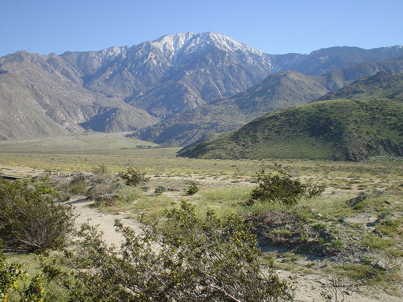
English: The North face of San Jacinto Mountains, the northernmost of the Peninsular Ranges, in Riverside County, Southern California.
|
| 日付 | |
| 原典 | en-WP: Image:?? 283.jpg |
| 作者 | en:user:Geographer |
| 許可 (ファイルの再利用) |
このファイルはクリエイティブ・コモンズ 表示 1.0 一般ライセンスのもとに利用を許諾されています。
|
ファイルの履歴
過去の版のファイルを表示するには、その版の日時をクリックしてください。
| 日付と時刻 | サムネイル | 寸法 | 利用者 | コメント | |
|---|---|---|---|---|---|
| 現在の版 | 2008年9月30日 (火) 12:46 | | 1,600 × 1,200 (902キロバイト) | H-stt | {{Information |Description= Santa Rosa and San Jacinto Mountains National Monument, California, USA. North face of San Jacinto Mountains, on March 30, 2003. The steep escarpment of its north face climbs over 10,000 feet (3 km) in 7 miles (11.3 km). It is |
ファイルの使用状況
以下のページがこのファイルを使用しています:
グローバルなファイル使用状況
以下に挙げる他のウィキがこの画像を使っています:
- arz.wikipedia.org での使用状況
- ceb.wikipedia.org での使用状況
- cs.wikipedia.org での使用状況
- de.wikipedia.org での使用状況
- en.wikipedia.org での使用状況
- List of mountains of the United States
- San Jacinto Peak
- San Jacinto Mountains
- Santa Rosa and San Jacinto Mountains National Monument
- List of national monuments of the United States
- List of mountain peaks of California
- Protected areas of California
- Riverside County, California
- Geography of southern California
- en.wikivoyage.org での使用状況
- es.wikipedia.org での使用状況
- Anexo:Montañas de Estados Unidos
- Anexo:Unidades del Sistema de Conservación de Paisajes Nacionales (EE.UU.)
- Anexo:Monumentos nacionales de Estados Unidos
- Sierra de San Jacinto
- Anexo:Cadenas montañosas más largas de la Tierra
- Anexo:Picos ultraprominentes del mundo
- Anexo:Montañas destacadas de América del Norte (con Centroamérica)
- et.wikipedia.org での使用状況
- eu.wikipedia.org での使用状況
- fr.wikipedia.org での使用状況
- he.wikipedia.org での使用状況
- id.wikipedia.org での使用状況
- it.wikipedia.org での使用状況
- ml.wikipedia.org での使用状況
- pt.wikipedia.org での使用状況
- ru.wikipedia.org での使用状況
- simple.wikipedia.org での使用状況
- sw.wikipedia.org での使用状況
- uk.wikipedia.org での使用状況
- ur.wikipedia.org での使用状況
- vi.wikipedia.org での使用状況
- www.wikidata.org での使用状況
- zh.wikipedia.org での使用状況