ファイル:USACE Crooked Creek Lake and Dam.jpg

このプレビューのサイズ: 800 × 534 ピクセル。 その他の解像度: 320 × 214 ピクセル | 640 × 427 ピクセル | 1,024 × 683 ピクセル | 1,500 × 1,001 ピクセル。
元のファイル (1,500 × 1,001 ピクセル、ファイルサイズ: 774キロバイト、MIME タイプ: image/jpeg)
ウィキメディア・コモンズのファイルページにある説明を、以下に表示します。
|
| 解説 |
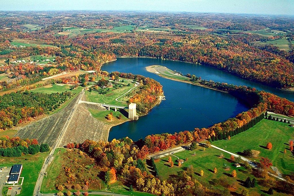
English: Crooked Creek Lake and Dam on the Crooked Creek near Ford City, Armstrong County, Pennsylvania, USA. The creek flows into the Allegheny River a few miles downstream of the dam |
|||
| 日付 | ||||
| 原典 |
U.S. Army Corps of Engineers Digital Visual Library Image page Image description page Digital Visual Library home page |
|||
| 作者 | Margaret Luzier, U.S. Army Corps of Engineers | |||
| 許可 (ファイルの再利用) |
|
| カメラの位置 | | 以下のサービスでこの位置を確認する: オープンストリートマップ |
|---|
ファイルの履歴
過去の版のファイルを表示するには、その版の日時をクリックしてください。
| 日付と時刻 | サムネイル | 寸法 | 利用者 | コメント | |
|---|---|---|---|---|---|
| 現在の版 | 2007年3月28日 (水) 00:52 | | 1,500 × 1,001 (774キロバイト) | DanMS | {{Information | Description = {{en|Crooked Creek Lake and Dam on the Crooked Creek near Ford City, Tioga County, Pennsylvania, USA. The creek flows into the Allegheny River a few miles downstream of the dam}} | Source = U.S. Army Corps of Engin |
ファイルの使用状況
以下のページがこのファイルを使用しています:
グローバルなファイル使用状況
以下に挙げる他のウィキがこの画像を使っています:
- en.wikipedia.org での使用状況
- vi.wikipedia.org での使用状況
- www.wikidata.org での使用状況