ファイル:明石海峡大橋 - panoramio (1).jpg

このプレビューのサイズ: 800 × 533 ピクセル。 その他の解像度: 320 × 213 ピクセル | 640 × 427 ピクセル | 1,024 × 683 ピクセル | 1,280 × 853 ピクセル | 2,640 × 1,760 ピクセル。
元のファイル (2,640 × 1,760 ピクセル、ファイルサイズ: 3.43メガバイト、MIME タイプ: image/jpeg)
ウィキメディア・コモンズのファイルページにある説明を、以下に表示します。
|
概要
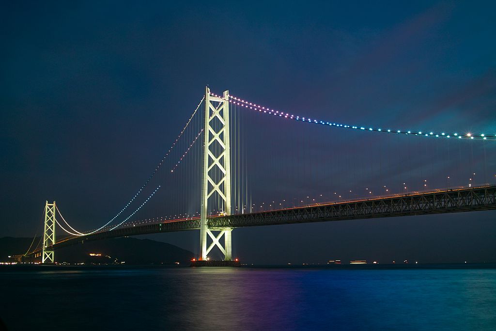
| 解説 | 明石海峡大橋 | |||||
| 日付 | 撮影日:2010年6月24日 | |||||
| 原典 | https://web.archive.org/web/20161022040607/http://www.panoramio.com/photo/51502327 | |||||
| 作者 | clear_and_sunny | |||||
| 許可 (ファイルの再利用) |
このファイルはクリエイティブ・コモンズ 表示 3.0 非移植ライセンスのもとに利用を許諾されています。 帰属: clear_and_sunny
|
|||||
| その他のバージョン | ||||||
| Tags (from Panoramio photo page) | Tarumi-ku, DP2, night |


_(cropped).jpg)
.jpg?uselang=ja)
.jpg?uselang=ja)
.jpg?uselang=ja&action=history)
.jpg)
| 被写体の位置 | | 以下のサービスでこの位置を確認する: オープンストリートマップ |
|---|
.jpg¶ms=034.616200_N_0135.020500_E_globe:Earth_class:object_type:object__&language=ja)
| カメラの位置 | | 以下のサービスでこの位置を確認する: オープンストリートマップ |
|---|
.jpg¶ms=034.629332_N_0135.037047_E_globe:Earth_type:camera_source:Panoramio_&language=ja)
ファイルの履歴
過去の版のファイルを表示するには、その版の日時をクリックしてください。
| 日付と時刻 | サムネイル | 寸法 | 利用者 | コメント | |
|---|---|---|---|---|---|
| 現在の版 | 2016年11月20日 (日) 14:34 | | 2,640 × 1,760 (3.43メガバイト) | Panoramio upload bot | == {{int:filedesc}} == {{Information |description=明石海峡大橋 |date={{Taken on|2010-06-24}} |source=http://www.panoramio.com/photo/51502327 |author=[http://www.panoramio.com/user/2651412?with_photo_id=51502327 clear_and_sunny] |permission={{cc-b... |
ファイルの使用状況
以下のページがこのファイルを使用しています:
グローバルなファイル使用状況
以下に挙げる他のウィキがこの画像を使っています:
- ca.wikipedia.org での使用状況
- eu.wikipedia.org での使用状況
- ga.wikipedia.org での使用状況
- ko.wikipedia.org での使用状況
- my.wikipedia.org での使用状況
- uk.wikipedia.org での使用状況
- www.wikidata.org での使用状況
.jpg)