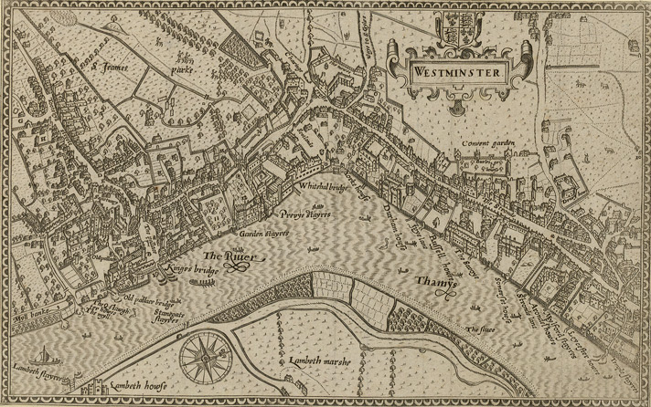
ファイル:1593 Norden's map of Westminster surveyed and publ 1593 (1).jpg
1593_Norden's_map_of_Westminster_surveyed_and_publ_1593_(1).jpg (712 × 446 ピクセル、ファイルサイズ: 193キロバイト、MIME タイプ: image/jpeg)
ファイルの履歴
過去の版のファイルを表示するには、その版の日時をクリックしてください。
| 日付と時刻 | サムネイル | 寸法 | 利用者 | コメント | |
|---|---|---|---|---|---|
| 現在の版 | 2006年2月16日 (木) 19:10 |  | 712 × 446 (193キロバイト) | Merchbow~commonswiki | Norden's map of Westminster, surveyed and published 1593. From the Crace Collection at the British Library. Category:Maps of London category:City of Westminster |
ファイルの使用状況
以下の 2 ページがこのファイルを使用しています:
グローバルなファイル使用状況
以下に挙げる他のウィキがこの画像を使っています:
- de.wikipedia.org での使用状況
- en.wikipedia.org での使用状況
- es.wikipedia.org での使用状況
- he.wikipedia.org での使用状況
- nrm.wikipedia.org での使用状況
- sco.wikipedia.org での使用状況
- zh.wikipedia.org での使用状況
