ファイル:Canada Manitoba location map.svg

この SVG ファイルのこの PNG プレビューのサイズ: 486 × 599 ピクセル. その他の解像度: 195 × 240 ピクセル | 389 × 480 ピクセル | 623 × 768 ピクセル | 831 × 1,024 ピクセル | 1,661 × 2,048 ピクセル | 1,512 × 1,864 ピクセル。
元のファイル (SVG ファイル、1,512 × 1,864 ピクセル、ファイルサイズ: 809キロバイト)
ウィキメディア・コモンズのファイルページにある説明を、以下に表示します。
|
概要
| 解説 |
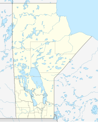
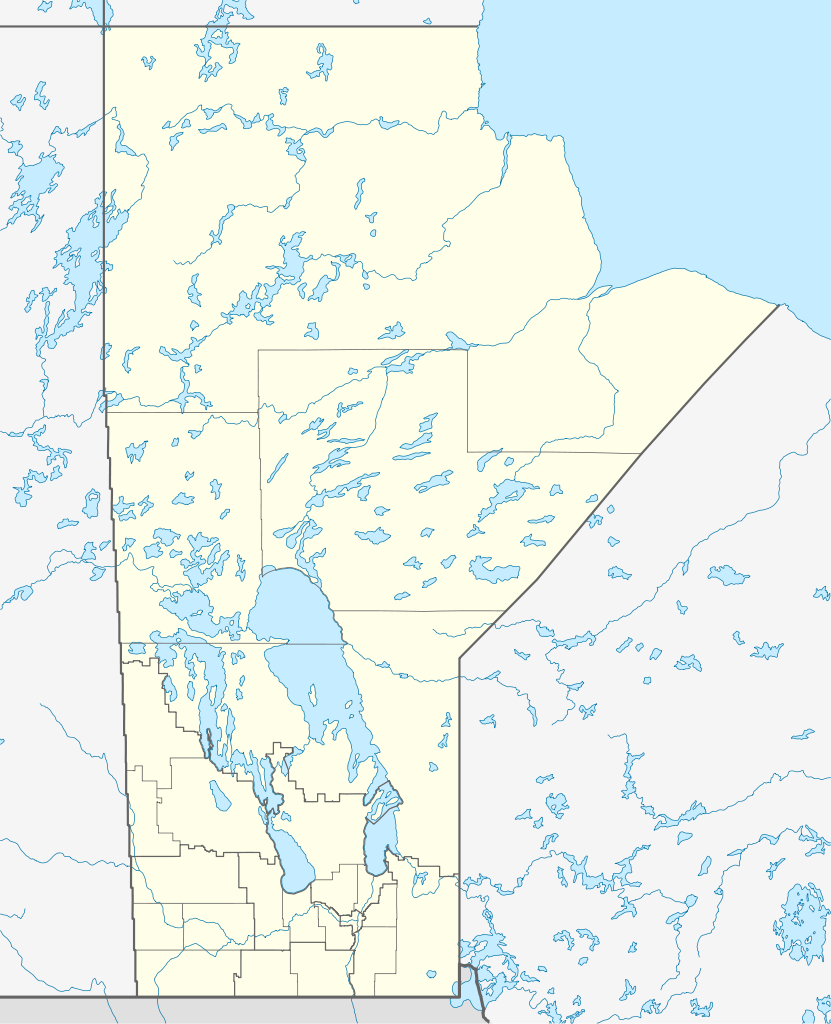
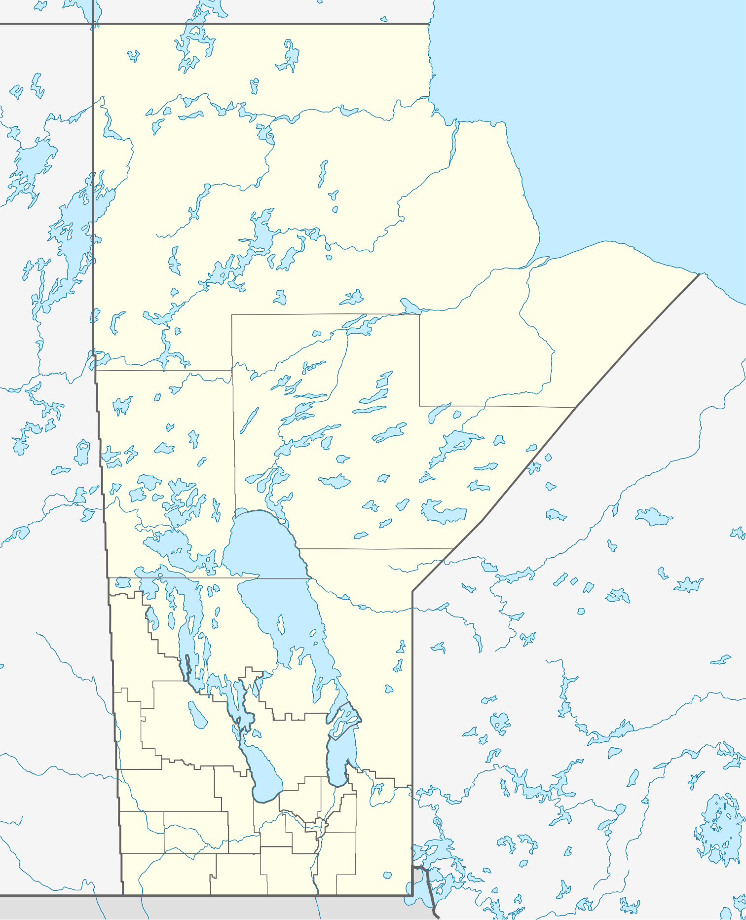
Quadratische Plattkarte, N-S-Streckung 170 %. Geographische Begrenzung der Karte:
Equirectangular projection, N/S stretching 170 %. Geographic limits of the map:
|
| 日付 | |
| 原典 |
投稿者自身による著作物, using
|
| 作者 | NordNordWest |
| 許可 (ファイルの再利用) |
この作品の著作権者である私は、この作品を以下のライセンスで提供します。 このファイルはクリエイティブ・コモンズ 表示-継承 3.0 非移植ライセンスのもとに利用を許諾されています。
|
| その他のバージョン |
このファイルの派生的著作物:
|


|
この地図は、ドイツ語版の(地図研究室)で制作、もしくは改善されたものです。更なる改善の為、地図を提案することもできます。
|
ファイルの履歴
過去の版のファイルを表示するには、その版の日時をクリックしてください。
| 日付と時刻 | サムネイル | 寸法 | 利用者 | コメント | |
|---|---|---|---|---|---|
| 現在の版 | 2009年8月28日 (金) 11:57 | | 1,512 × 1,864 (809キロバイト) | NordNordWest | {{int:filedesc}} {{Information |Description= {{de|Positionskarte von Manitoba, Kanada}} Quadratische Plattkarte, N-S-Streckung 170 %. Geographische Begrenzung der Karte: * N: 60.3° N * S: 48.7° N * W: 104.0° W * O: 88.0� |
ファイルの使用状況
以下の 3 ページがこのファイルを使用しています:
グローバルなファイル使用状況
以下に挙げる他のウィキがこの画像を使っています:
- ar.wikipedia.org での使用状況
- ba.wikipedia.org での使用状況
- ca.wikipedia.org での使用状況
- cs.wikipedia.org での使用状況
- de.wikipedia.org での使用状況
- Winnipeg
- Eishockey-Weltmeisterschaft der U20-Junioren 1999
- Churchill (Manitoba)
- Canada Life Centre
- Winnipegosis (Manitoba)
- Winkler (Manitoba)
- Altona (Manitoba)
- Reykjavik (Manitoba)
- Thompson (Manitoba)
- Arborg (Manitoba)
- Ashern (Manitoba)
- Steinbach (Manitoba)
- Dauphin (Manitoba)
- Selkirk (Manitoba)
- Gimli (Manitoba)
- Brandon (Manitoba)
- Lower Fort Garry
- Vorlage:Positionskarte Kanada Manitoba
- St. François Xavier
- Morden (Manitoba)
- Beausejour
- Grand Rapids (Manitoba)
- Portage la Prairie
- Carberry
- Minnedosa
- Wikipedia:Kartenwerkstatt/Positionskarten/Nordamerika
- York Factory (Manitoba)
- Norway House
- Painted Stone Portage
- Saint-Boniface (Manitoba)
- Flin Flon Airport
- Fort Prince of Wales
- Winnipeg Arena
- Winnipeg Beach
- Boissevain (Manitoba)
- Polo Park
- Emerson (Manitoba)
- Swan River (Manitoba)
- IG Field
このファイルのグローバル使用状況を表示する。