ファイル:Coney Island beach aerial view.jpg

このプレビューのサイズ: 600 × 600 ピクセル。 その他の解像度: 240 × 240 ピクセル | 480 × 480 ピクセル | 769 × 768 ピクセル | 1,025 × 1,024 ピクセル | 1,500 × 1,499 ピクセル。
元のファイル (1,500 × 1,499 ピクセル、ファイルサイズ: 862キロバイト、MIME タイプ: image/jpeg)
ウィキメディア・コモンズのファイルページにある説明を、以下に表示します。
|
| 解説 |
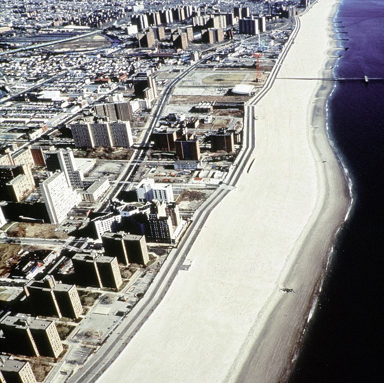
English: Aerial view of the oceanfront of Coney Island, Brooklyn, New York, USA. The photograph appears to be taken from the vicinity of West 32nd Street, looking east. The view extends a short distance beyond Asser Levy Park. |
|||
| 日付 | (Caution: Dates given on the Corps of Engineers website are often incorrect.) | |||
| 原典 |
U.S. Army Corps of Engineers Digital Visual Library Image page Image description page Digital Visual Library home page |
|||
| 作者 | Peter Shugert, U.S. Army Corps of Engineers | |||
| 許可 (ファイルの再利用) |
|
|||
| 場所 | Brooklyn, New York, USA |
| 被写体の位置 | | 以下のサービスでこの位置を確認する: オープンストリートマップ |
|---|
ファイルの履歴
過去の版のファイルを表示するには、その版の日時をクリックしてください。
| 日付と時刻 | サムネイル | 寸法 | 利用者 | コメント | |
|---|---|---|---|---|---|
| 現在の版 | 2007年4月8日 (日) 23:00 | | 1,500 × 1,499 (862キロバイト) | DanMS | {{Information | Description = {{en|Aerial view of the oceanfront of Coney Island, Brooklyn, New York, USA. The photograph appears to be taken from the vicinity of West 32nd Street, looking east. The view extends a short distance beyond Asser Levy Park. |
ファイルの使用状況
グローバルなファイル使用状況
以下に挙げる他のウィキがこの画像を使っています:
- af.wikipedia.org での使用状況
- ar.wikipedia.org での使用状況
- da.wikipedia.org での使用状況
- et.wikipedia.org での使用状況
- he.wikipedia.org での使用状況
- nl.wikipedia.org での使用状況
- sv.wikipedia.org での使用状況
- zh.wikipedia.org での使用状況