ファイル:Denmark adm location map.svg

元のファイル (SVG ファイル、1,836 × 1,478 ピクセル、ファイルサイズ: 479キロバイト)
ウィキメディア・コモンズのファイルページにある説明を、以下に表示します。
|
概要
| 解説 |
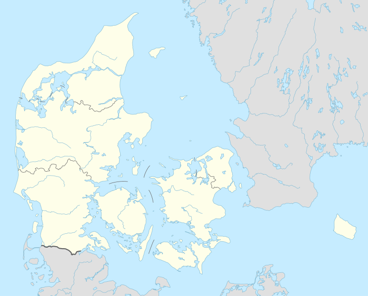
Deutsch: Positionskarte von Dänemark
English: Location map of Denmark
|
||||||||||||
| 日付 | |||||||||||||
| 原典 |
次のものを使用した投稿者自身による著作物::
|
||||||||||||
| 作者 | NordNordWest | ||||||||||||
| SVG 開発 | この ベクター画像はAdobe Illustratorで作成されました。
|
||||||||||||

ライセンス
Usage of this file with:

explanatory notes: Legally binding is only the full legalcode. For a free usage I recommend to respect the following licence conditions:
1. Provide my name as given above: NordNordWest,
2. a copy of, or the URI for, the applicable license: https://creativecommons.org/licenses/by-sa/3.0/de/legalcode,
3. the title of the work,
4. in the case of an adaptation, a credit identifying the use of the work in the adaptation.
This license and the rights granted hereunder will terminate automatically upon any breach by you of the terms of this license. Any of the above conditions can be waived if you get permission from the copyright holder. If you have questions or wish differing conditions, please contact me through nnwest or my discussion page ![]() t-online.de
t-online.de
- あなたは以下の条件に従う場合に限り、自由に
- 共有 – 本作品を複製、頒布、展示、実演できます。
- 再構成 – 二次的著作物を作成できます。
- あなたの従うべき条件は以下の通りです。
- 表示 – あなたは適切なクレジットを表示し、ライセンスへのリンクを提供し、変更があったらその旨を示さなければなりません。これらは合理的であればどのような方法で行っても構いませんが、許諾者があなたやあなたの利用行為を支持していると示唆するような方法は除きます。
- 継承 – もしあなたがこの作品をリミックスしたり、改変したり、加工した場合には、あなたはあなたの貢献部分を元の作品とこれと同一または互換性があるライセンスの下に頒布しなければなりません。

ファイルの履歴
過去の版のファイルを表示するには、その版の日時をクリックしてください。
| 日付と時刻 | サムネイル | 寸法 | 利用者 | コメント | |
|---|---|---|---|---|---|
| 現在の版 | 2015年3月31日 (火) 18:42 | | 1,836 × 1,478 (479キロバイト) | NordNordWest | == {{int:filedesc}} == {{Information |Description= {{de|1=Positionskarte von Dänemark}} {{en|1=Location map of Denmark}} {{Location map series N |stretching=170 |top=57.9 |bottom=54.3 |left=7.8 |right=15.4 }} |Source={{Own using}} * United States Nati... |
ファイルの使用状況
以下の 37 ページがこのファイルを使用しています:
- 2015年世界女子ハンドボール選手権
- 2019年世界男子ハンドボール選手権
- オーフス
- オーフス空港
- オーベンロー
- オールボー空港
- カステレット (コペンハーゲン)
- カーロプ空港
- クリスチャンスフェルド
- クリスチャンスボー城
- ゲルダ・ヴィーグナー
- コペンハーゲン空港
- シャルロッテンルンド宮殿
- スクリュズストロプ空軍基地
- スナボー
- ソーレ (シェラン地域)
- デンマーク・スーペルリーガ 2015-2016
- デンマーク空軍
- パルケン・スタディオン
- ヒレレズ
- ビルン
- ビルン空港
- フレゼリクスハウン
- ブレンビー・スタディオン
- ヘアニング
- ユーロビジョン・ソング・コンテスト2014
- リーベ
- レアケンボー
- レネ
- ロスキレ空港
- ヴィズオウア
- ヴォーロプウーア
- 伯爵戦争
- 利用者:おいしい豚肉/sandbox/ベーオウルフ (架空の人物)
- 利用者:ロイヤルオーク/sandbox/下書き18
- モジュール:Location map/data/Denmark
- モジュール:Location map/data/Denmark/doc
グローバルなファイル使用状況
以下に挙げる他のウィキがこの画像を使っています:
- af.wikipedia.org での使用状況
- Tise
- Tødsø
- Tolne
- Tornby
- Tranum
- Tversted
- Tylstrup
- Uggerby
- Uggerhalne
- Ullits
- Ulsted
- Vadum
- Valsgård
- Valsted
- Vårst
- Thisted
- Thorshøj
- Guldbæk
- Gudumholm
- Gøttrup
- Godthåb (Aalborg)
- Gjøl
- Gistrup
- Gedsted
- Gandrup
- Gærum
- Tårs (Hjørring)
- Terndrup
- Vrå
- Vodskov
- Ydby
- Vodstrup
- Voerså
- Vognsild
- Vrensted
- Visse (Denemarke)
- Visborg
- Vindblæs
- Vilsund Vest
- Vilsted
- Vils
- Vidstrup
- Vestervig
- Vesterø Havn
- Vester Torup
- Vester Hornum
- Vester Hjermitslev
- Vester Hassing
- Vestbjerg
- Vesløs
このファイルのグローバル使用状況を表示する。