ファイル:Ethiopia adm location map.svg

元のファイル (SVG ファイル、1,843 × 1,494 ピクセル、ファイルサイズ: 353キロバイト)
ウィキメディア・コモンズのファイルページにある説明を、以下に表示します。
|
概要
| 解説 |
Deutsch: Positionskarte von Äthiopien
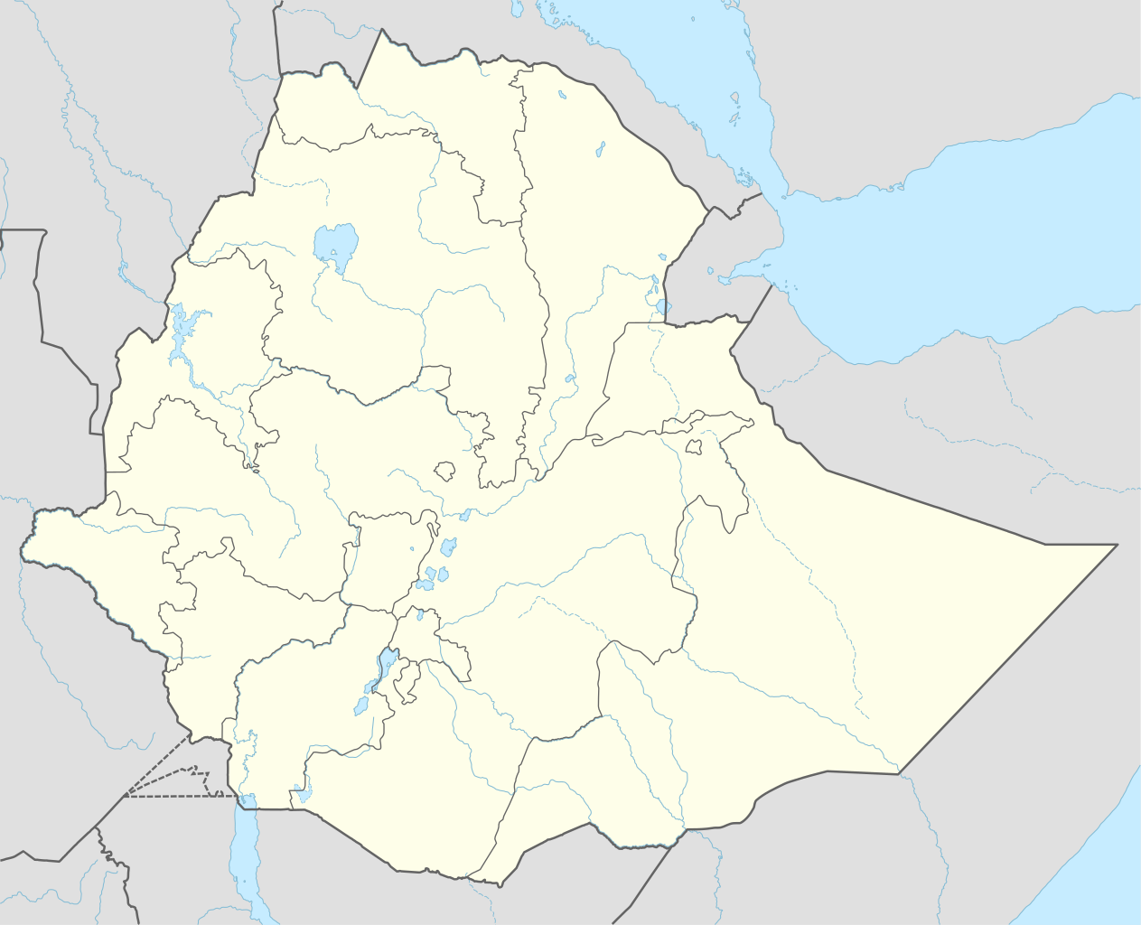
English: Location map of Ethiopia
|
||||||||||||
| 日付 | |||||||||||||
| 原典 |
次のものを使用した投稿者自身による著作物::
|
||||||||||||
| 作者 | NordNordWest | ||||||||||||
| その他のバージョン |
|
||||||||||||
_location_map.svg)
_location_map.svg)
_location_map.svg)


|
この地図は、ドイツ語版の(地図研究室)で制作、もしくは改善されたものです。更なる改善の為、地図を提案することもできます。
|
ライセンス
Usage of this file with:

explanatory notes: Legally binding is only the full legalcode. For a free usage I recommend to respect the following licence conditions:
1. Provide my name as given above: NordNordWest,
2. a copy of, or the URI for, the applicable license: https://creativecommons.org/licenses/by-sa/3.0/de/legalcode,
3. the title of the work,
4. in the case of an adaptation, a credit identifying the use of the work in the adaptation.
This license and the rights granted hereunder will terminate automatically upon any breach by you of the terms of this license. Any of the above conditions can be waived if you get permission from the copyright holder. If you have questions or wish differing conditions, please contact me through nnwest or my discussion page ![]() t-online.de
t-online.de
- あなたは以下の条件に従う場合に限り、自由に
- 共有 – 本作品を複製、頒布、展示、実演できます。
- 再構成 – 二次的著作物を作成できます。
- あなたの従うべき条件は以下の通りです。
- 表示 – あなたは適切なクレジットを表示し、ライセンスへのリンクを提供し、変更があったらその旨を示さなければなりません。これらは合理的であればどのような方法で行っても構いませんが、許諾者があなたやあなたの利用行為を支持していると示唆するような方法は除きます。
- 継承 – もしあなたがこの作品をリミックスしたり、改変したり、加工した場合には、あなたはあなたの貢献部分を元の作品とこれと同一または互換性があるライセンスの下に頒布しなければなりません。

ファイルの履歴
過去の版のファイルを表示するには、その版の日時をクリックしてください。
| 日付と時刻 | サムネイル | 寸法 | 利用者 | コメント | |
|---|---|---|---|---|---|
| 現在の版 | 2023年9月11日 (月) 16:11 | | 1,843 × 1,494 (353キロバイト) | NordNordWest | upd 2023 |
| 2021年12月29日 (水) 23:12 |  | 1,843 × 1,494 (352キロバイト) | NordNordWest | corr | |
| 2021年12月1日 (水) 01:59 |  | 1,843 × 1,494 (359キロバイト) | Ue3lman | New South West Region | |
| 2021年10月13日 (水) 14:45 |  | 1,843 × 1,494 (349キロバイト) | Gebagebo | Added dotted line to indicate Somaliland | |
| 2021年4月5日 (月) 09:09 |  | 1,843 × 1,494 (345キロバイト) | NordNordWest | . | |
| 2020年11月25日 (水) 09:41 |  | 1,843 × 1,494 (350キロバイト) | NordNordWest | + Sidama | |
| 2020年6月27日 (土) 19:00 |  | 1,843 × 1,494 (350キロバイト) | NordNordWest | upd | |
| 2015年3月25日 (水) 18:20 |  | 1,843 × 1,494 (344キロバイト) | NordNordWest | == {{int:filedesc}} == {{Information |Description= {{de|1=Positionskarte von Äthiopien}} {{en|1=Location map of Ethiopia}} {{Location map series N |stretching=102 |top=15.3 |bottom=2.9 |left=32.7 |right=48.3 }} |Source={{Own using}} * United States Na... |
ファイルの使用状況
以下の 32 ページがこのファイルを使用しています:
- 2019年アムハラ州クーデター未遂事件
- アソサ
- アダマ
- アダル・スルタン国
- アバ・テナ・デジャズマッチ・イルマ国際空港
- アフマド・イブン・イブリヒム・アル=ガジー
- アワッサ
- イファト・スルタン国
- エチオピアの都市の一覧
- ガンベラ
- コンソ
- ゴンダール
- ジジガ
- ジンマ
- セメラ
- ゼイラ
- ソマリランドの歴史
- ダワ川
- ティヤ
- デセ
- デムビドロ
- デムビドロ空港
- ハラール (エチオピア)
- バハルダール
- ベコジ
- ボレ国際空港
- マジ (エチオピア)
- メックエル
- ラリベラ
- ワルデル
- モジュール:Location map/data/Ethiopia
- モジュール:Location map/data/Ethiopia/doc