ファイル:Indianapolis Military Park in the snow.jpg
このプレビューのサイズ: 800 × 450 ピクセル。 その他の解像度: 320 × 180 ピクセル | 640 × 360 ピクセル | 1,024 × 576 ピクセル | 1,280 × 720 ピクセル | 2,816 × 1,584 ピクセル。
元のファイル (2,816 × 1,584 ピクセル、ファイルサイズ: 2.68メガバイト、MIME タイプ: image/jpeg)
ウィキメディア・コモンズのファイルページにある説明を、以下に表示します。
|
| カメラの位置 | | 以下のサービスでこの位置を確認する: オープンストリートマップ |
|---|
| 解説 |
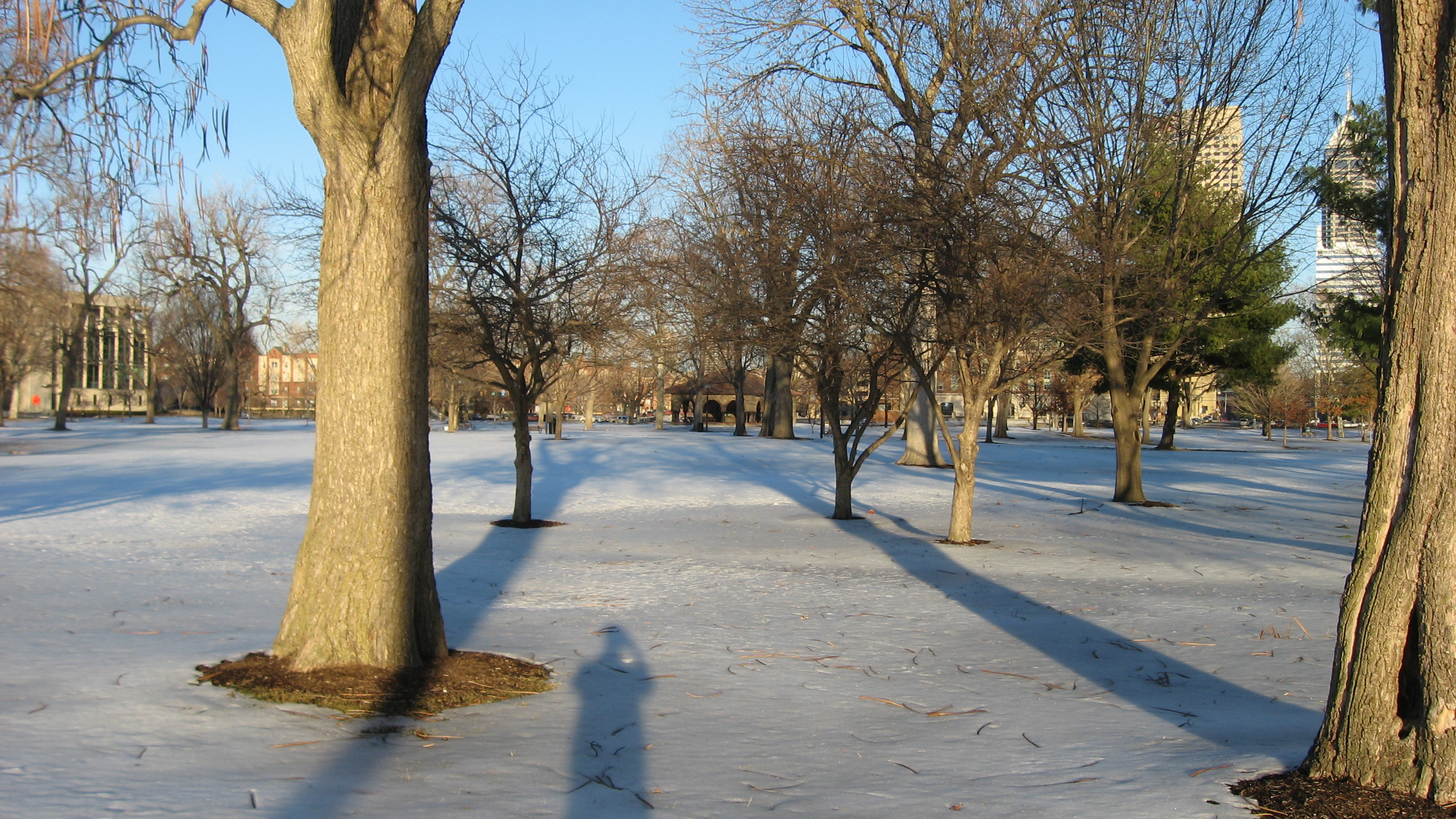
English: Snow in the late afternoon on Military Park, located just west of downtown Indianapolis, Indiana, United States, seen from its western side. Formerly a military encampment known as Camp Sullivan during the American Civil War, the park is listed as a historic district on the National Register of Historic Places. |
||
| 日付 | 撮影日:2011年2月13日 | ||
| 原典 | 投稿者自身による著作物 | ||
| 作者 | Nyttend | ||
| 許可 (ファイルの再利用) |
|
ファイルの履歴
過去の版のファイルを表示するには、その版の日時をクリックしてください。
| 日付と時刻 | サムネイル | 寸法 | 利用者 | コメント | |
|---|---|---|---|---|---|
| 現在の版 | 2011年2月18日 (金) 06:14 | | 2,816 × 1,584 (2.68メガバイト) | Nyttend | {{Location|39|46|12|N|86|10|12|W}} {{Information |Description={{en|Snow in the late afternoon on {{w|Military Park (Indianapolis)|Military Park}}, located just west of downtown {{w|Indianapolis}}, {{w|Indiana}}, {{w|United States}}, seen from its western |
ファイルの使用状況
以下のページがこのファイルを使用しています:
グローバルなファイル使用状況
以下に挙げる他のウィキがこの画像を使っています:
- ceb.wikipedia.org での使用状況
- en.wikipedia.org での使用状況
- www.wikidata.org での使用状況