ファイル:Picton Lennox and Nueva.png
高解像度版はありません。
Picton_Lennox_and_Nueva.png (800 × 600 ピクセル、ファイルサイズ: 38キロバイト、MIME タイプ: image/png)
ウィキメディア・コモンズのファイルページにある説明を、以下に表示します。
|
Largely self-made, using www.planiglobe.com (License アーカイブされたコピー at the Wayback Machine) as source for cartographic data and colors from CIA World Factbook maps.
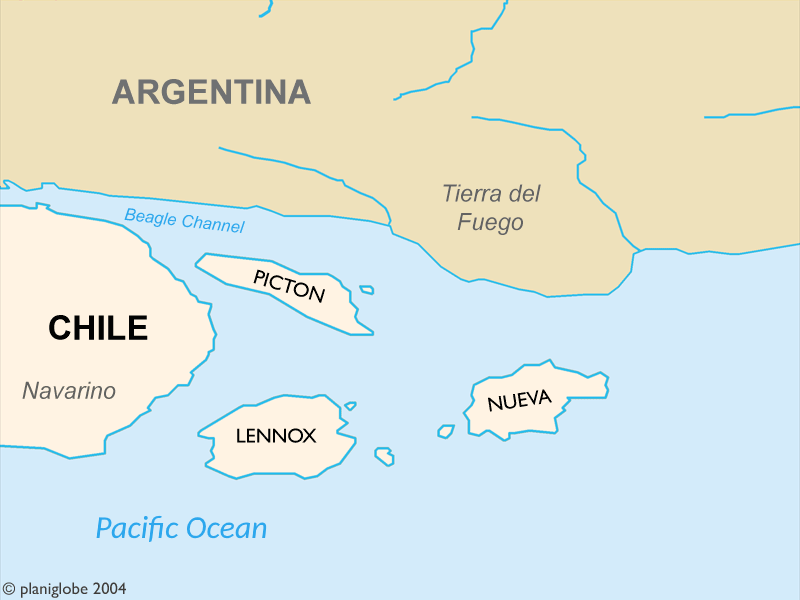
These Islands are part of Chile and where disputed by Chile and Argentina until 1985.
Author: Cantus
このファイルはクリエイティブ・コモンズ 表示 2.5 一般ライセンスのもとに利用を許諾されています。
- あなたは以下の条件に従う場合に限り、自由に
- 共有 – 本作品を複製、頒布、展示、実演できます。
- 再構成 – 二次的著作物を作成できます。
- あなたの従うべき条件は以下の通りです。
- 表示 – あなたは適切なクレジットを表示し、ライセンスへのリンクを提供し、変更があったらその旨を示さなければなりません。これらは合理的であればどのような方法で行っても構いませんが、許諾者があなたやあなたの利用行為を支持していると示唆するような方法は除きます。
Planiglobe license:
| This image is from Planiglobe. All maps hosted on Planiglobe are licensed under the Creative Commons Attribution 2.5 License, but Planiglobe suggests that they not be used for navigational purposes. For the purposes of this license, this clause is considered a disclaimer and not a license restriction. このファイルはクリエイティブ・コモンズ 表示 2.5 一般ライセンスのもとに利用を許諾されています。
|
ファイルの履歴
過去の版のファイルを表示するには、その版の日時をクリックしてください。
| 日付と時刻 | サムネイル | 寸法 | 利用者 | コメント | |
|---|---|---|---|---|---|
| 現在の版 | 2018年1月1日 (月) 21:36 | | 800 × 600 (38キロバイト) | Janitoalevic | . |
| 2005年9月1日 (木) 22:24 |  | 800 × 600 (21キロバイト) | B1mbo | Largely self-made, using www.planiglobe.com ([http://www.planiglobe.com/eula.html License]) as source for cartographic data and colors from CIA World Factbook maps. Author: Cantus {{CopyrightedFreeUse}} Category:Maps of Chile |
ファイルの使用状況
以下のページがこのファイルを使用しています:
グローバルなファイル使用状況
以下に挙げる他のウィキがこの画像を使っています:
- ast.wikipedia.org での使用状況
- eo.wikipedia.org での使用状況
- es.wikipedia.org での使用状況
- fr.wikipedia.org での使用状況
- it.wikipedia.org での使用状況
- ko.wikipedia.org での使用状況
- no.wikipedia.org での使用状況
- pl.wikipedia.org での使用状況
- pt.wikipedia.org での使用状況
- tr.wikipedia.org での使用状況
- www.wikidata.org での使用状況