ファイル:South Africa Northern Cape location map.svg

この SVG ファイルのこの PNG プレビューのサイズ: 589 × 599 ピクセル. その他の解像度: 236 × 240 ピクセル | 472 × 480 ピクセル | 755 × 768 ピクセル | 1,007 × 1,024 ピクセル | 2,014 × 2,048 ピクセル | 1,054 × 1,072 ピクセル。
元のファイル (SVG ファイル、1,054 × 1,072 ピクセル、ファイルサイズ: 296キロバイト)
ウィキメディア・コモンズのファイルページにある説明を、以下に表示します。
|
概要
| 解説 |
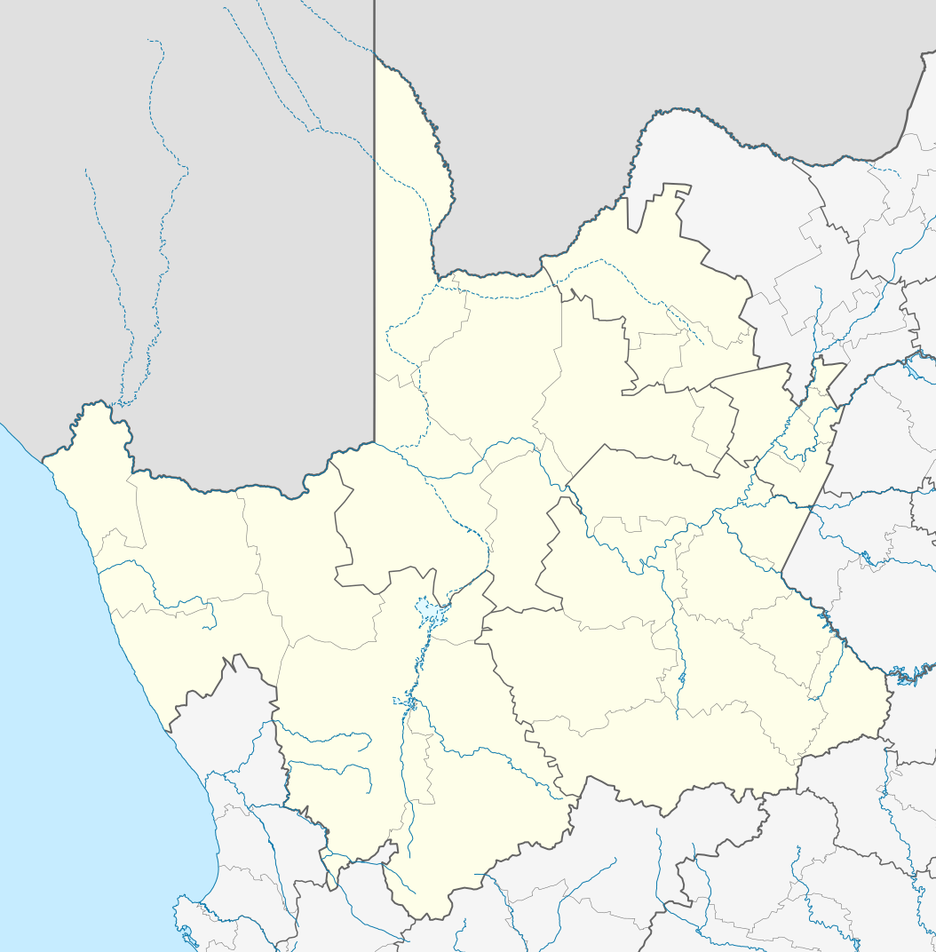
English: Location map of the Northern Cape
Equirectangular projection, N/S stretching 113%. Geographic limits of the map:
|
| 日付 | |
| 原典 |
|
| 作者 | Htonl |
| 許可 (ファイルの再利用) |
この作品の著作権者である私は、この作品を以下のライセンスで提供します。 このファイルはクリエイティブ・コモンズ 表示-継承 3.0 非移植ライセンスのもとに利用を許諾されています。
|
| その他のバージョン | File:South Africa Northern Cape relief location map.svg, File:Blank map of the Northern Cape (2011).svg |
.svg)
ファイルの履歴
過去の版のファイルを表示するには、その版の日時をクリックしてください。
| 日付と時刻 | サムネイル | 寸法 | 利用者 | コメント | |
|---|---|---|---|---|---|
| 現在の版 | 2013年1月6日 (日) 22:28 | | 1,054 × 1,072 (296キロバイト) | Htonl | == {{int:filedesc}} == {{Information |Description ={{en|Location map of the en:Northern Cape Equirectangular projection, N/S stretching 113%. Geographic limits of the map: * N: 24.25° S * S: 33.25° S * W: 16° E * E: 26° E}} |Source ... |
ファイルの使用状況
以下の 8 ページがこのファイルを使用しています:
グローバルなファイル使用状況
以下に挙げる他のウィキがこの画像を使っています:
- af.wikipedia.org での使用状況
- Kimberley
- Upington
- Fraserburg
- Orania
- Sutherland
- Alexanderbaai
- Onseepkans
- Pella
- Postmasburg
- Calvinia
- Augrabies- Nasionale Park
- Williston, Noord-Kaap
- Garies
- Kamieskroon
- Vioolsdrif
- Steinkopf
- Hopetown
- Douglas, Noord-Kaap
- Okiep
- Concordia
- Port Nolloth
- Springbok, Noord-Kaap
- Pofadder, Noord-Kaap
- Carnarvon
- Victoria-Wes
- Hutchinson
- Hondeklipbaai
- Henkries
- Goodhouse
- Leliefontein
- Prieska
- Colesberg
- Mesklip
- Warrenton, Noord-Kaap
- Kuruman
- Hotazel
- Jan Kempdorp
- Loeriesfontein
- Vosburg
- Strydenburg
- Kenhardt
- Marydale
- De Aar
- Hartswater
- Groblershoop
- Campbell
- Loxton
- Windsorton
- Van Wyksvlei
- Richmond, Noord-Kaap
このファイルのグローバル使用状況を表示する。