ファイル:Txu-oclc-6654394-ng-51-6th-ed.jpg

このプレビューのサイズ: 636 × 600 ピクセル。 その他の解像度: 255 × 240 ピクセル | 509 × 480 ピクセル | 814 × 768 ピクセル | 1,086 × 1,024 ピクセル | 2,172 × 2,048 ピクセル | 5,000 × 4,715 ピクセル。
元のファイル (5,000 × 4,715 ピクセル、ファイルサイズ: 10.27メガバイト、MIME タイプ: image/jpeg)
ウィキメディア・コモンズのファイルページにある説明を、以下に表示します。
|
概要
| 解説 |
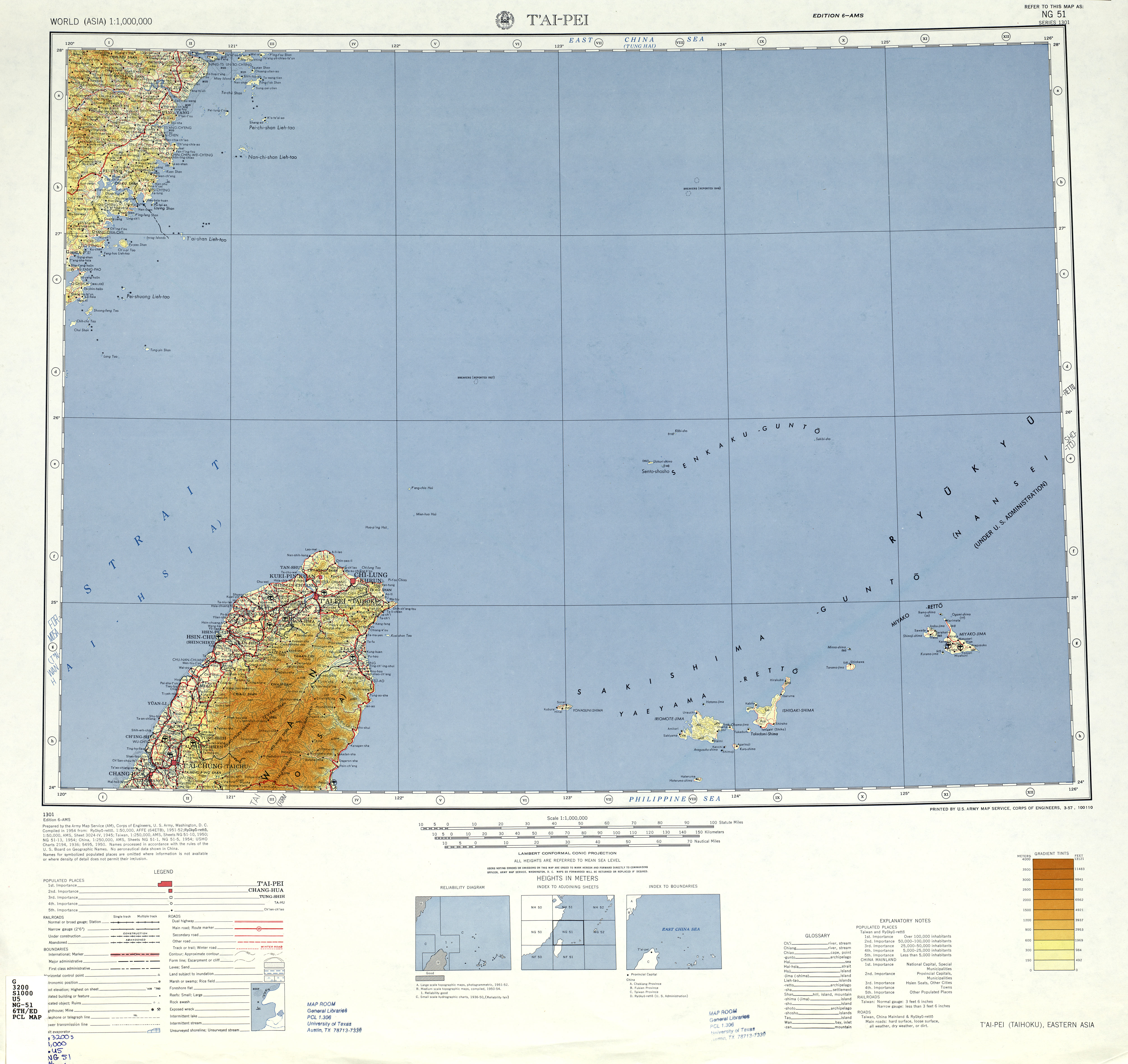
English: Map of Taipei (T'ai-pei, Taihoku), Taiwan and surrounding areas from the International Map of the World 1:1,000,000 |
| 日付 | Printed March 1957, Scanned 2008-11-17 08:13:12 |
| 原典 | Courtesy of the University of Texas Libraries, The University of Texas at Austin. (NG 51 Archived [1]) |
| 作者 | Army Map Serivce (AM), Corps of Engineers, 1954 |
ライセンス
This image or file is a work of a U.S. Army Corps of Engineers soldier or employee, taken or made as part of that person's official duties. As a work of the U.S. federal government, the image is in the public domain.
|
ファイルの履歴
過去の版のファイルを表示するには、その版の日時をクリックしてください。
| 日付と時刻 | サムネイル | 寸法 | 利用者 | コメント | |
|---|---|---|---|---|---|
| 現在の版 | 2019年12月7日 (土) 05:04 | | 5,000 × 4,715 (10.27メガバイト) | Geographyinitiative | User created page with UploadWizard |
ファイルの使用状況
以下のページがこのファイルを使用しています:
グローバルなファイル使用状況
以下に挙げる他のウィキがこの画像を使っています:
- de.wikipedia.org での使用状況
- en.wikipedia.org での使用状況
- en.wiktionary.org での使用状況
- fr.wikipedia.org での使用状況
- tr.wikipedia.org での使用状況