ファイル:Greater Geelong.png
このプレビューのサイズ: 408 × 599 ピクセル。 その他の解像度: 163 × 240 ピクセル | 327 × 480 ピクセル | 697 × 1,024 ピクセル。
元のファイル (697 × 1,024 ピクセル、ファイルサイズ: 1.47メガバイト、MIME タイプ: image/png)
ウィキメディア・コモンズのファイルページにある説明を、以下に表示します。
|
| 解説 |
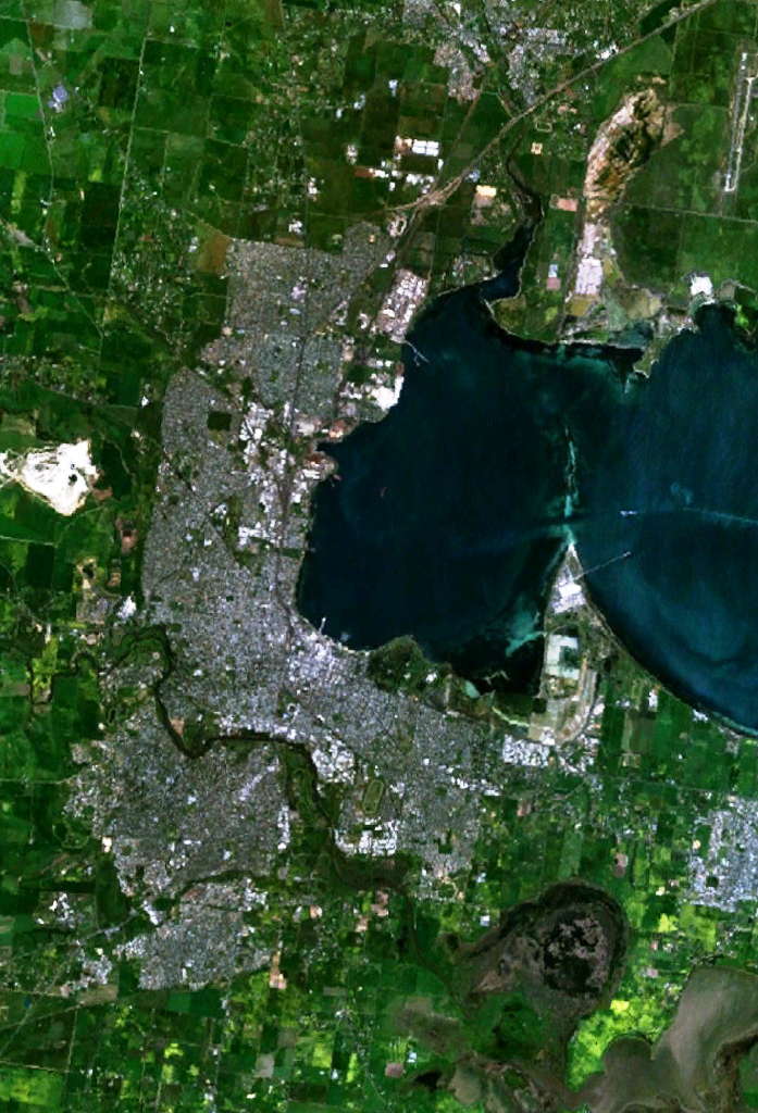
English: w:Geelong, Victoria and suburbs, including Lara in the north, Grovedale in the south-west and Moolap in the south-east. The western end of Corio Bay, including Point Henry, is visible. |
| 原典 | 投稿者自身による著作物 |
| 作者 | user:Stephen Bain |
| この画像は、Blue Marble、MODIS、Landsat、SRTM、USGS、GLOBEなどのパブリックドメイン・レイヤーを使用したNASAの地球儀ソフトウェア「World Wind」のスクリーンショットであるため、パブリックドメインの状態にあります。
|
 |
ファイルの履歴
過去の版のファイルを表示するには、その版の日時をクリックしてください。
| 日付と時刻 | サムネイル | 寸法 | 利用者 | コメント | |
|---|---|---|---|---|---|
| 現在の版 | 2005年12月30日 (金) 04:30 | | 697 × 1,024 (1.47メガバイト) | Stephen Bain | w:Geelong, Victoria and suburbs, including Lara in the north, Grovedale in the south-west and Moolap in the south-east. The western end of Corio Bay, including Point Henry, is visible. {{PD-WorldWind}} |
ファイルの使用状況
以下のページがこのファイルを使用しています:
グローバルなファイル使用状況
以下に挙げる他のウィキがこの画像を使っています:
- de.wikipedia.org での使用状況
- en.wikipedia.org での使用状況
- fr.wikipedia.org での使用状況
- ga.wikipedia.org での使用状況
- he.wikipedia.org での使用状況
- sv.wikipedia.org での使用状況