ファイル:Canton-Massillon Metropolitan Area.png
高解像度版はありません。
Canton-Massillon_Metropolitan_Area.png (400 × 450 ピクセル、ファイルサイズ: 23キロバイト、MIME タイプ: image/png)
ウィキメディア・コモンズのファイルページにある説明を、以下に表示します。
|
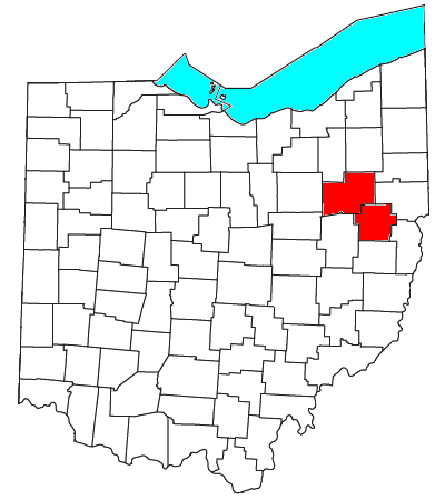
| 解説 | Locator map of the Canton-Massillon Metropolitan Statistical Area in the northeastern part of the U.S. state of Ohio. | ||
| 日付 | |||
| 原典 | Modified from this United States Census Bureau file, based on this Census definitions list. | ||
| 作者 | User:Nyttend | ||
| 許可 (ファイルの再利用) |
US Government work is public domain, and my work is
|
ファイルの履歴
過去の版のファイルを表示するには、その版の日時をクリックしてください。
| 日付と時刻 | サムネイル | 寸法 | 利用者 | コメント | |
|---|---|---|---|---|---|
| 現在の版 | 2008年7月30日 (水) 19:33 | | 400 × 450 (23キロバイト) | Nyttend | thumb|right|250px|Location of the Canton-Massillon Metropolitan Statistical Area in Ohio Canton is the largest principal city of the [[Canton-Massillon, OH MSA|Canton-Massillon Metropolitan Statistical Are |
ファイルの使用状況
以下のページがこのファイルを使用しています:
グローバルなファイル使用状況
以下に挙げる他のウィキがこの画像を使っています:
- en.wikipedia.org での使用状況