ファイル:Mobile Alabama harbor aerial view.jpg
このプレビューのサイズ: 800 × 533 ピクセル。 その他の解像度: 320 × 213 ピクセル | 640 × 426 ピクセル | 1,024 × 682 ピクセル | 1,500 × 999 ピクセル。
元のファイル (1,500 × 999 ピクセル、ファイルサイズ: 664キロバイト、MIME タイプ: image/jpeg)
ウィキメディア・コモンズのファイルページにある説明を、以下に表示します。
|
| 解説 |
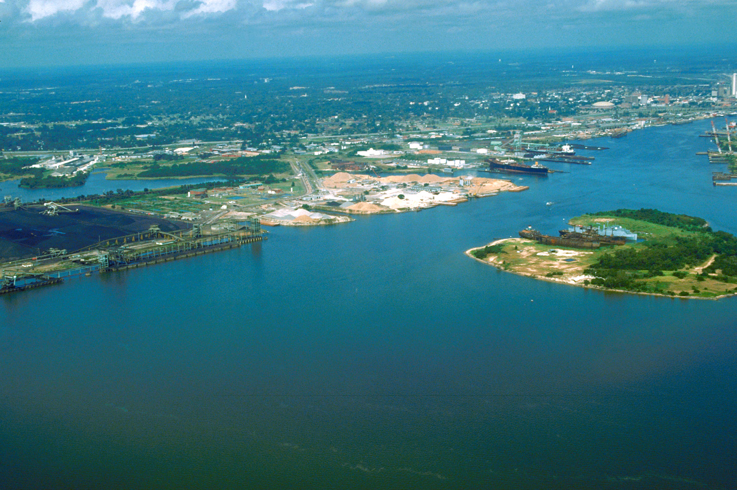
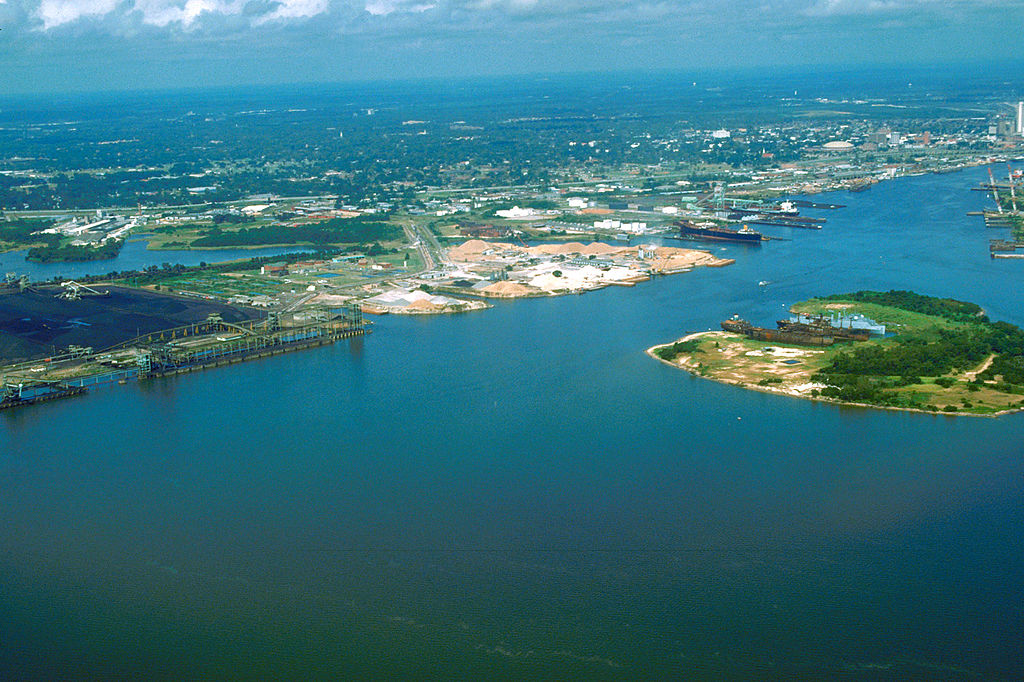
English: Aerial view of the port and city of Mobile, Alabama, USA. The view is from the harbor on Mobile Bay to the northwest over the central area of the city. |
|||
| 場所 | Mobile, Alabama, USA 30°39′47.39″N 88°1′59.79″W / 30.6631639°N 88.033275°W |
|||
| 日付 | (Caution: Dates provided by U.S. Army Corps of Engineers web pages are not reliable and are often wrong.) | |||
| 原典 |
U.S. Army Corps of Engineers Digital Visual Library Image page Image description page Digital Visual Library home page |
|||
| 作者 | Adrien Lamarre, U.S. Army Corps of Engineers | |||
| 許可 (ファイルの再利用) |
|
ファイルの履歴
過去の版のファイルを表示するには、その版の日時をクリックしてください。
| 日付と時刻 | サムネイル | 寸法 | 利用者 | コメント | |
|---|---|---|---|---|---|
| 現在の版 | 2007年4月25日 (水) 01:30 | | 1,500 × 999 (664キロバイト) | DanMS | {{Information2 | Description = {{en|Aerial view of the port and city of Mobile, Alabama, USA. The view is from the harbor on Mobile Bay to the northwest over the central area of the city.}} | Source = U.S. Army Corps of Engineers Digital Visual |
ファイルの使用状況
以下のページがこのファイルを使用しています:
グローバルなファイル使用状況
以下に挙げる他のウィキがこの画像を使っています:
- bo.wikipedia.org での使用状況
- el.wikipedia.org での使用状況
- en.wikipedia.org での使用状況
- es.wikipedia.org での使用状況
- eu.wikipedia.org での使用状況
- fa.wikipedia.org での使用状況
- fr.wikipedia.org での使用状況
- hsb.wikipedia.org での使用状況
- mk.wikipedia.org での使用状況
- nl.wikipedia.org での使用状況
- pl.wikipedia.org での使用状況
- ru.wikipedia.org での使用状況
- tr.wikipedia.org での使用状況
- www.wikidata.org での使用状況
- zh.wikipedia.org での使用状況