ファイル:Oceans around British Isles satellite image location map.jpg
このプレビューのサイズ: 496 × 599 ピクセル。 その他の解像度: 199 × 240 ピクセル | 397 × 480 ピクセル | 636 × 768 ピクセル | 848 × 1,024 ピクセル | 1,654 × 1,998 ピクセル。
元のファイル (1,654 × 1,998 ピクセル、ファイルサイズ: 242キロバイト、MIME タイプ: image/jpeg)
ウィキメディア・コモンズのファイルページにある説明を、以下に表示します。
|
| 解説 |
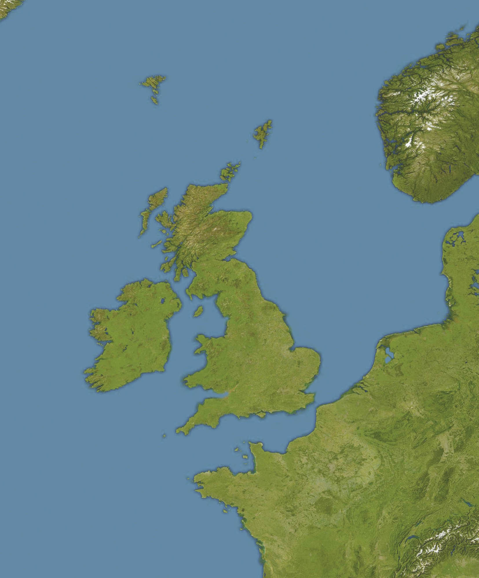
English: Location map of oceans around the United Kingdom and Ireland
Equirectangular projection, N/S stretching 150 %. Geographic limits of the map:
|
| 日付 |
19 December 2008 |
| 原典 |
Transferred from en.wikipedia |
| 作者 | Original uploader was Bellhalla at en.wikipedia |
| 許可 (ファイルの再利用) |
PD-AUTHOR. |
| その他のバージョン |

ライセンス
| この著作物は、著作者である英語版ウィキペディアのBellhallaさんによって権利が放棄され、パブリックドメインとされました。これは全世界で適用されます。 一部の国では、これが法的に可能ではない場合があります。その場合は、次のように宣言します。 Bellhallaは、あらゆる人に対して、法により必要とされている条件を除き、如何なる条件も課すことなく、あらゆる目的のためにこの著作物を使用する権利を与えます。 |
元のアップロードログ
元のファイルページはこちら。以下の利用者は全てen.wikipediaに属します。
- 2008-12-19 17:59 Bellhalla 1654×1998× (247419 bytes) {{Information |Description={{en|Location map of oceans around the [[United Kingdom]] and [[Ireland]] Equirectangular projection, N/S stretching 150 %. Geographic limits of the map: * N: 65° N * S: 45° N * W: 15° W * E: 10° E }} |Source=own work, cropp
ファイルの履歴
過去の版のファイルを表示するには、その版の日時をクリックしてください。
| 日付と時刻 | サムネイル | 寸法 | 利用者 | コメント | |
|---|---|---|---|---|---|
| 現在の版 | 2009年6月5日 (金) 12:59 | | 1,654 × 1,998 (242キロバイト) | Obersachse | {{Information |Description={{en|''no original description''}} |Source=Transferred from [http://en.wikipedia.org en.wikipedia]<br/> (Original text : ''own work, cropped version of en::File:Europe satellite image location map.jpg, which is a cropped a |
ファイルの使用状況
以下の 3 ページがこのファイルを使用しています:
グローバルなファイル使用状況
以下に挙げる他のウィキがこの画像を使っています:
- ar.wikipedia.org での使用状況
- ceb.wikipedia.org での使用状況
- de.wikipedia.org での使用状況
- en.wikipedia.org での使用状況
- RMS Alcantara (1913)
- Second Battle of Cape Finisterre
- SS Athenia (1922)
- SS Arandora Star
- Anton Dohrn Seamount
- SS Assyrian (1914)
- SS Empire Simba
- SS Empire Adventure
- Module:Location map/data/British Isles Oceans/doc
- Hasselwood Rock
- SS Crown Arun
- SS Gairsoppa
- Action of 29 February 1916
- SS Clan Matheson (1919)
- Helen's Reef
- SS Western Maid
- MV Scantic
- SS Leander (1925)
- SS Iserlohn (1909)
- SS Stakesby (1930)
- SS Lambridge
- SS Norjerv
- SS Pengreep
- SS Wairuna
- SS Almeda Star
- SS Creekirk
- Rescue of Roger Mallinson and Roger Chapman
- SS Oropesa (1919)
- SS Mohamed Ali El-Kebir
- Heinz Schnabel and Harry Wappler escape attempt
- Module:Location map/data/British Isles Oceans
- Hebrides Terrace Seamount
- eo.wikipedia.org での使用状況
- fa.wikipedia.org での使用状況
- kn.wikipedia.org での使用状況
- pt.wikipedia.org での使用状況
- si.wikipedia.org での使用状況
- uk.wikipedia.org での使用状況
このファイルのグローバル使用状況を表示する。